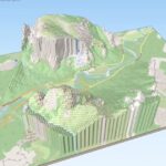
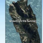
Day 3: PDAL and Entwine on Yosemite Valley LiDAR. 570 million points, JSON pipelines, Potree visualization. Processing took 19 hours. #100DayMapChallenge.
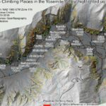
Yosemite Valley climbing walls from 0.5 m airborne LiDAR: slope analysis above 75°, flow direction for wall height, yellow-to-red classification. Day 2 of #100DayMapChallenge.