
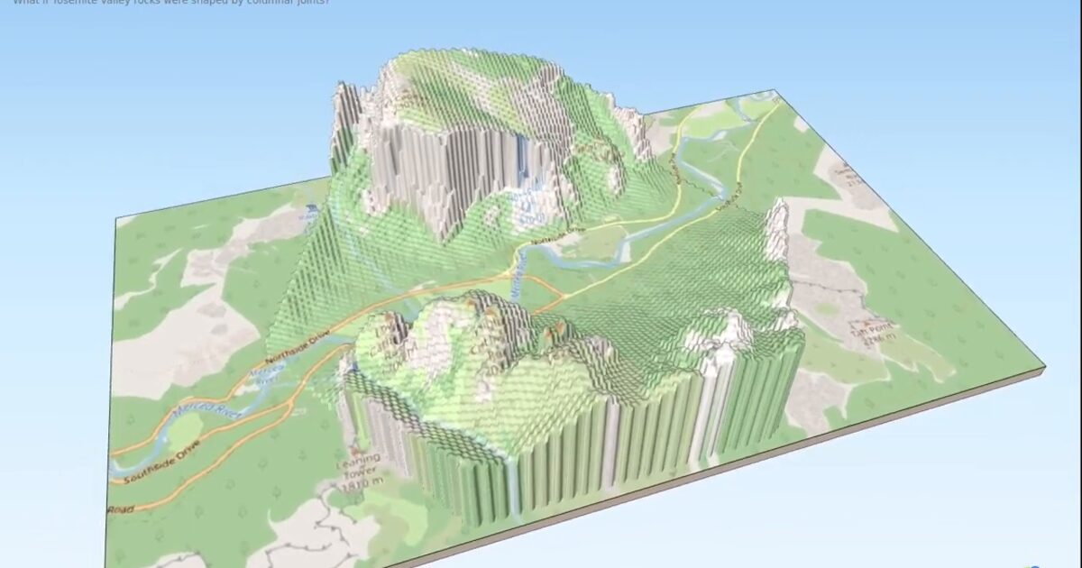
Day 52. The Hexagonal Nose ⬡
Some terrain projects begin with measurement, while others begin with a simple “what if?”.
For Day 52, I reimagined Yosemite’s El Capitan, especially the famous Nose route, as if the granite had formed through hexagonal columnar jointing. The base terrain remains grounded in OpenTopography LiDAR data, but the surface language shifts into a speculative geological version.
The core challenge was applying a hexagonal pattern across complex cliff geometry without breaking scale perception. Vertical walls, changing angles, and varying camera distances can quickly make stylized texturing feel inconsistent or artificial.
I used a QGIS → Qgis2threejs → Three.js workflow, preparing the terrain and texture logic in QGIS before export, then keeping the interaction lightweight and navigable in the browser.
I also documented the making-of as a short tutorial, because the workflow is surprisingly reusable for any DEM you want to turn into a 3D hexagon terrain.
This is a creative interpretation rather than an analytical model, but it still depends on accurate relief and spatial structure. I like these experiments because they keep one foot in real data and the other in visual imagination.
Live demo: The Hexagonal Nose
The project
| Piece | Role |
|---|---|
| Data | OpenTopography LiDAR + OSM |
| Pipeline | QGIS to Qgis2threejs to Three.js |
| Idea | Speculative hexagonal columnar jointing on The Nose |
| Extra | Making-of tutorial documented for reusable DEM hex workflow |
How to follow
- Blog: blog.maptheclouds.com
- LinkedIn: Day 52 post
- Live demo: The Hexagonal Nose
- Hashtag: #100DayMapChallenge
#100DayMapChallenge · Day 52/100 · LinkedIn
Previous: Day 51: Cluj Globe
Next: Day 53: AsgardMap