Those are my notes on taking some LiDAR data and testing different commands in PDAL. If you like, you can follow along using your own data. Most probably I’ll de adding or deleting stuff, but you can take a look…
LiDAR PDAL Experiments – Yosemite Valley
Those are my notes on taking some LiDAR data and testing different commands in PDAL. If you like, you can follow along using your own data. Most probably I’ll de adding or deleting stuff, but you can take a look…
LiDAR PDAL Experiments – Taal Volcano
Those are my notes on taking some LiDAR data and testing different commands in PDAL. If you like, you can follow along using your own data. Probably I’ll de adding or deleting stuff, but you can take a look to…
The Sentinel, Cathedral Spires .. Să fie Judas Priest?
Ei bine .. Nu, nu e, dar e la fel de tare (it rocks)! 😀 Bun, gata cu glumele seci. Postarea aceasta este despre Yosemite Valley, un canion sculptat glaciar în munții Sierra Nevada din California, care adăpostește unele dintre…
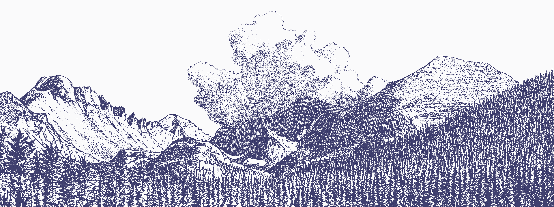
The Sentinel, Cathedral Spires .. Is it Judas Priest?
Well.. No, it isn’t, but it rocks, too! 😀 Ok, enough with the corny jokes. This post is about Yosemite Valley, a ~1-km-deep, glacially carved canyon in the Sierra Nevada mountains of California, that hosts some of the largest granitic…