
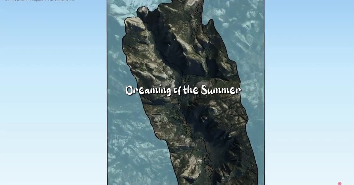
Day 50. Yosemite Valley in 3D ⛰️
Some terrain only becomes meaningful when you can feel the vertical scale, not just read elevation values.
For Day 50, I built a LiDAR-based 3D view of Yosemite Valley, focusing on El Capitan, The Nose route, Half Dome, and the surrounding walls. The project builds on the dataset prepared in Day 3 (PDAL/Entwine), bringing it into an interactive 3D environment.
The goal was to make the landscape readable through depth and perspective. Sheer faces, valley floor, and climbing routes begin to make sense when seen together in motion.
The main challenge was keeping the scene interactive and legible in the browser while handling multiple assets and preserving orientation cues.
Using a QGIS → Qgis2threejs → Three.js workflow, the scene loads progressively and supports smooth navigation, allowing exploration across cliffs and terrain with a clear sense of scale.
The result is a complete 3D entry that marks the Day 50 milestone, connecting geospatial processing with a more intuitive, spatial understanding of the terrain.
Live demo: Yosemite Valley 3D
The project
| Piece | Role |
|---|---|
| Data | LiDAR from Day 3 PDAL/Entwine pipeline |
| Features | El Capitan, The Nose, Half Dome |
| Pipeline | QGIS to Qgis2threejs to Three.js |
| Milestone | Day 50 mid-campaign marker |
How to follow
- Blog: blog.maptheclouds.com
- LinkedIn: Day 50 post
- Live demo: Yosemite Valley 3D
- Hashtag: #100DayMapChallenge
#100DayMapChallenge · Day 50/100 · LinkedIn
Previous: Day 49: Polygon City Tiles
Next: Day 51