
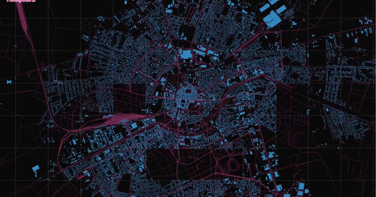
Day 49. Polygon city tiles 🏙️
A city starts to feel different when every building is treated as a polygon, not just a background shape.
This project focuses on the historical center of Timișoara, where building footprints are rendered as vector polygons. Instead of simplifying the scene, the goal was to keep full coverage visible while maintaining clarity at city scale.
As more tiles load, the city gradually assembles itself. Streets, water, and terrain form the base, then buildings emerge layer by layer, revealing structure through accumulation rather than abstraction.
The main challenge was balancing density and readability. Thousands of polygons can quickly overwhelm the view if layering and contrast are not carefully controlled.
Using Nextzen vector tiles for context and OSM Buildings for detailed footprints, the scene is rendered in D3.js with a progressive loading flow that keeps interaction smooth and legible.
What emerges is not just a map of buildings, but a clearer sense of urban fabric, where density, alignment, and spatial rhythm become visible.
Live demo: Polygon City Tiles
The project
| Piece | Role |
|---|---|
| Area | Timisoara historical center, Romania |
| Tiles | Nextzen vector context + OSM Buildings footprints |
| Stack | D3.js progressive polygon load |
| Read | Urban fabric through density and alignment |
How to follow
- Blog: blog.maptheclouds.com
- LinkedIn: Day 49 post
- Live demo: Polygon City Tiles
- Hashtag: #100DayMapChallenge
#100DayMapChallenge · Day 49/100 · LinkedIn
Previous: Day 48: Global Wind Forecast