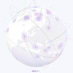
Day 54: Dots – Procedural Globe Halftone Day 54: Earth as a GLSL dot field. ~100k points, ripples, arcs. Three.js. #100DayMapChallenge. Continue reading “Day 54: Dots – Procedural Globe Halftone”…
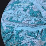
Day 51: Cluj Globe – What if Earth Was a County Day 51: Cluj County OSM wrapped onto a Three.js globe. Scale as perspective shift. #100DayMapChallenge. Continue reading “Day 51: Cluj Globe – What if Earth Was a County”…
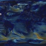
Day 48: Global Wind Forecast Day 48: NCEP GFS wind particles in a Starry Night palette. WebGL Wind GPU sim. #100DayMapChallenge. Continue reading “Day 48: Global Wind Forecast”…
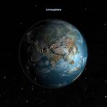
Day 47: Atmosphere – OpenFlights Revisited Day 47: Same OpenFlights data as Day 43, new atmosphere, clouds, and relief. #100DayMapChallenge. Continue reading “Day 47: Atmosphere – OpenFlights Revisited”…
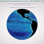
Day 45: Chlorophyll Ocean Data Day 45: NASA MODIS chlorophyll on an animated WebGL globe. IIB Awards 2023. #100DayMapChallenge. Continue reading “Day 45: Chlorophyll Ocean Data”…
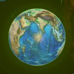
Day 44: Earth Gone Wild – Exaggerated Relief Day 44: ETOPO1 Earth with exaggerated relief and GLSL displacement. Remix entry. #100DayMapChallenge. Continue reading “Day 44: Earth Gone Wild – Exaggerated Relief”…
Day 43: OpenFlights World Airports Day 43: 8,000+ OpenFlights airports on an interactive 3D globe. InstancedMesh + shaders. #100DayMapChallenge. Continue reading “Day 43: OpenFlights World Airports”…
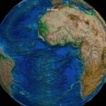
Day 41: Africa on a 3D Globe Day 41: Africa centered on a 3D ETOPO1 globe. Three.js terrain and a playful elephant outline. #100DayMapChallenge. Continue reading “Day 41: Africa on a 3D Globe”…
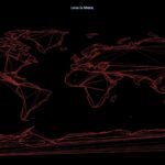
Day 35: Earth in Lines – Minimal Coastlines Day 35: Earth reduced to coastline signatures. Three.js + Natural Earth. #100DayMapChallenge. Continue reading “Day 35: Earth in Lines – Minimal Coastlines”…
Day 33: Backcountry Routes in 3D – California BDR Day 33: BDR motorcycle routes with elevation and a synced 3D bike. MapLibre + Three.js. #100DayMapChallenge. Continue reading “Day 33: Backcountry Routes in 3D – California BDR”…