
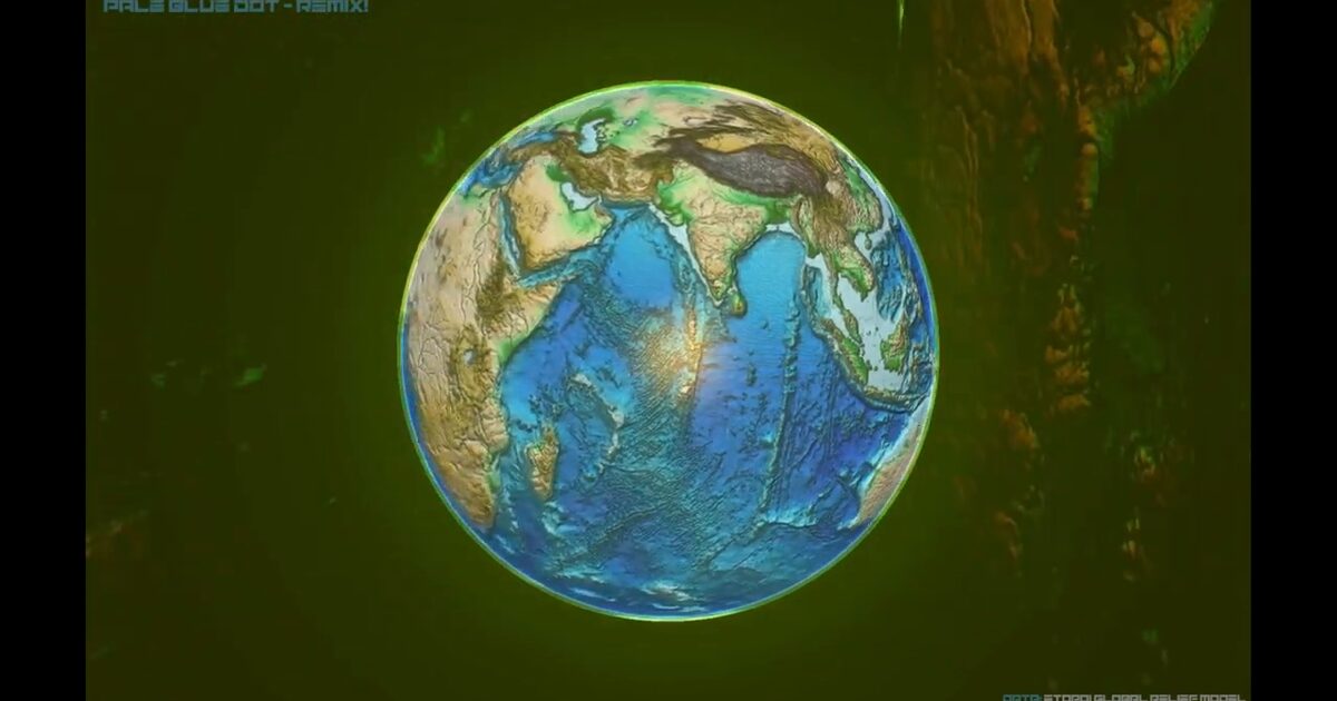
Day 44. Earth gone wild! 🌍
What happens when topographic relief is pushed beyond realism so the structure of Earth becomes impossible to ignore?
For this project, I used NOAA’s ETOPO1 1 Arc-Minute Global Relief Model to build an exaggerated 3D Earth where mountains rise dramatically and ocean trenches sink deeply. The goal was not strict realism, but a readable terrain form that reveals relief patterns through motion and light.
The technical challenge was processing and rendering high-resolution global topographic data as displacement while keeping visual clarity and performance. I built the scene with Three.js and WebGL, converted ETOPO1 height data into a grayscale displacement texture, and used GLSL Shaders to control the exaggeration multiplier with custom lighting tuned to emphasize both mountains and trenches.
The result is a complete remix entry for 30DayMapChallenge 2022 that demonstrates advanced topographic visualization with authoritative NOAA data.
Live demo: Earth Gone Wild
The project
| Piece | Role |
|---|---|
| Data | NOAA ETOPO1 1 arc-minute relief |
| Stack | Three.js + WebGL displacement + GLSL |
| Style | Beyond-real exaggeration for readable terrain |
| Context | 30DayMapChallenge 2022 remix entry |
How to follow
- Blog: blog.maptheclouds.com
- LinkedIn: Day 44 post
- Live demo: Earth Gone Wild
- Hashtag: #100DayMapChallenge
#100DayMapChallenge · Day 44/100 · LinkedIn
Previous: Day 43: OpenFlights Airports