
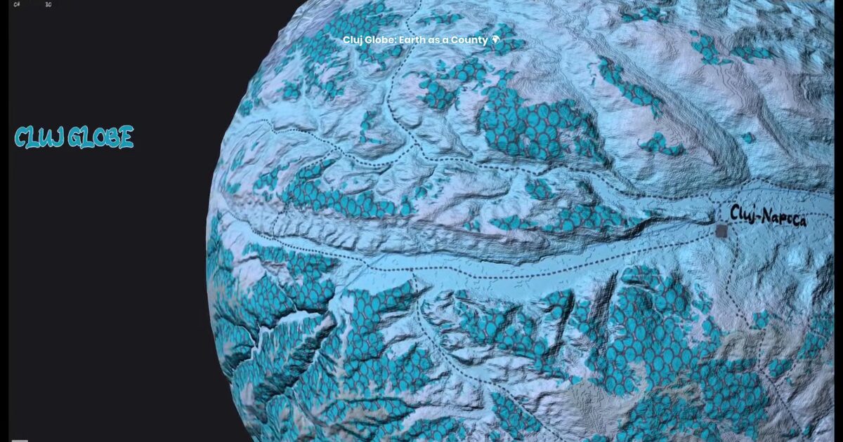
Day 51. Cluj Globe 🌍
Scale can completely change how we read a place, even when the data stays exactly the same.
For Day 51, I built Cluj Globe, a creative experiment that asks a simple question: what if Earth was a county? I took OpenStreetMap data from Cluj County and wrapped it onto a sphere, turning familiar terrain and forest patterns into a planetary surface.
The technical challenge was converting local, planar geography into a convincing globe. County-scale data is not designed to behave like a full planet, so texture preparation and UV mapping had to be carefully adjusted to keep the result readable.
I used Three.js, WebGL, and custom GLSL shaders for atmospheric rim lighting, depth shading, and smooth rotation. The goal was not analytical precision, but a shift in perspective that makes local geography feel distant and new.
It also connects back to Day 17, Map Scale Exploration, where I used the same QGIS-exported basemap as a starting point, but explored a different question: how perception changes when scale itself is reframed.
This is a playful build, but it also highlights how strongly cartography depends on scale and framing. The same hills, forests, and elevation patterns can tell a completely different story when context changes.
Live demo: Cluj Globe
The project
| Piece | Role |
|---|---|
| Data | OpenStreetMap Cluj County |
| Stack | Three.js + WebGL + GLSL atmosphere |
| Challenge | Planar county data as planetary UV/texture |
| Kin | Connects to Day 17 map-scale exploration |
How to follow
- Blog: blog.maptheclouds.com
- LinkedIn: Day 51 post
- Live demo: Cluj Globe
- Hashtag: #100DayMapChallenge
#100DayMapChallenge · Day 51/100 · LinkedIn
Previous: Day 50: Yosemite Valley 3D