
Day 47. Atmosphere ✈️
Some globe projects only begin to make sense when the atmosphere stops being decoration and starts becoming structure.
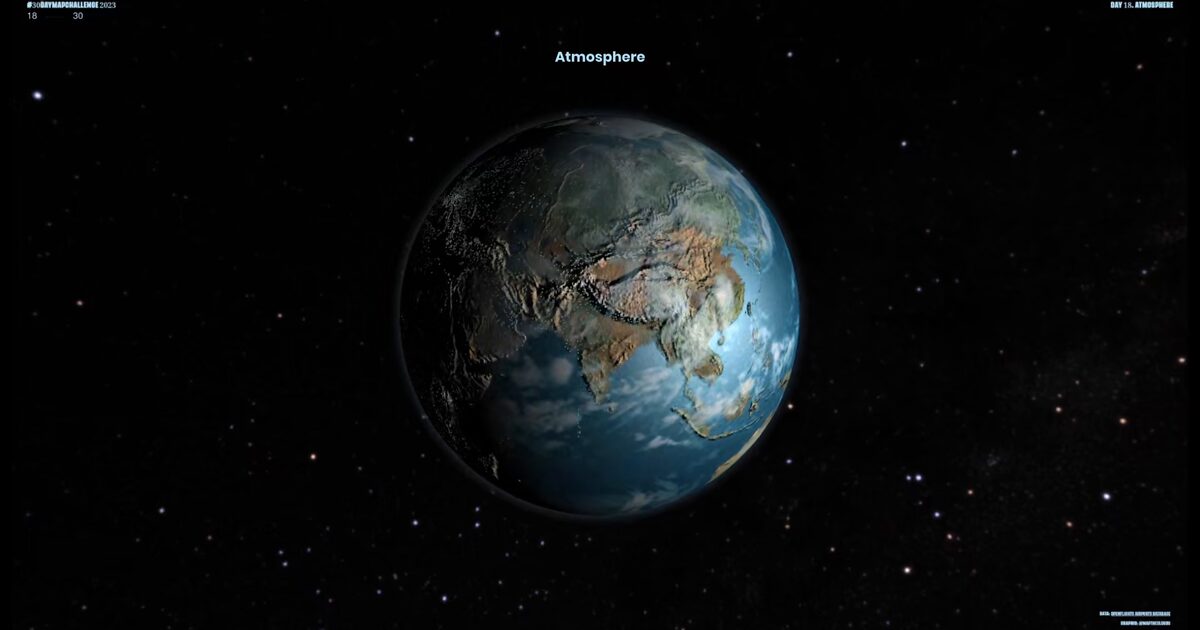
Day 47 builds directly on Day 43 (OpenFlights World Airports ✈️), keeping the same airport dataset and core globe, but transforming the full visual context: cloud layers, atmospheric glow shaded relief, stronger light and shadow, and a deeper space backdrop.
The goal was not to change the data, but to change how it is felt and understood. With each rotation, the map shifts. Not in content, but in perception. Dense clusters across North America, Europe, and parts of Asia begin to stand out, while large regions fall into silence. The imbalance is no longer just measured, it becomes visible.
Atmosphere here is not an effect, but a guide. It shapes depth, scale, and attention. It makes patterns surface.
Built with Three.js and WebGL, using layered Earth textures and subtle shader work to hold everything together without breaking clarity.
Not a new dataset, but a different way of seeing it: same world, same airports, revealed through space, light, and motion.
Live demo: Atmosphere
The project
| Piece | Role |
|---|---|
| Data | Same OpenFlights set as Day 43 |
| Visual | Clouds, glow, shaded relief, space backdrop |
| Stack | Three.js + WebGL layered textures |
| Goal | Perception shift, not new dataset |
How to follow
- Blog: blog.maptheclouds.com
- LinkedIn: Day 47 post
- Live demo: Atmosphere
- Hashtag: #100DayMapChallenge
#100DayMapChallenge · Day 47/100 · LinkedIn
Previous: Day 46: Virtual Land Map