
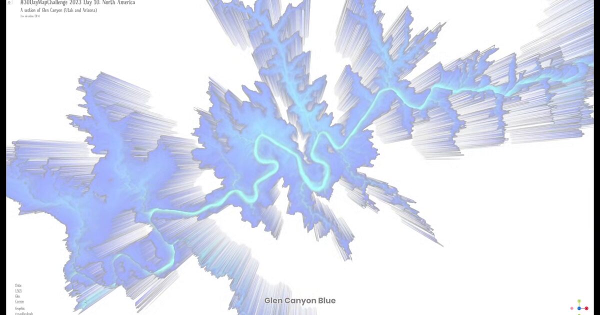
Day 56. Glen Canyon in blue 🔹
Color choices can change how terrain is understood, even when elevation data and geometry remain identical.
For Day 56, I built a 3D view of Glen Canyon from USGS 2m DEM data, but rendered it with a blue-to-turquoise palette instead of the expected desert browns. The topography is unchanged, yet the canyon starts to read as something almost aquatic.
The project is not about geographic novelty, since Glen Canyon is already well known, but about perceptual framing. By inverting the usual color assumptions, deep incisions and layered relief become easier to separate visually in motion.
Technically, this follows a QGIS → Qgis2threejs → Three.js workflow, with mesh decimation to keep the terrain responsive in browser while preserving key vertical structure. The color ramp is prepared in QGIS and baked into the export, then explored with full interactive controls.
This remains a straightforward terrain build, but it is a useful reminder that palette is not decoration. In cartography, it can be part of the analytical lens.
Live demo: Glen Canyon Blue
The project
| Piece | Role |
|---|---|
| Data | USGS Glen Canyon 2m DEM |
| Pipeline | QGIS to Qgis2threejs to Three.js |
| Style | Blue-to-turquoise ramp baked in QGIS |
| Point | Palette reframes identical geometry |
How to follow
- Blog: blog.maptheclouds.com
- LinkedIn: Day 56 post
- Live demo: Glen Canyon Blue
- Hashtag: #100DayMapChallenge
#100DayMapChallenge · Day 56/100 · LinkedIn
Previous: Day 55: Biker Santa